By Road from Vientiane to the Vietnam Border
In late 1998, we surveyed a route for a fiber optic cable placement from Vientiane south along Route 13 to Vieng Kham and then east along Route 8 to the Vietnam border. We (as Netcon, a Bangkok-based Telecommunications engineering and construction company subsidiary of Bechtel Corporation) were bidding this World Bank funded project as a subcontractor to Siemens. The route is roughly 200 miles in length and passes over several rugged mountain ranges. The scenery along the way is, as you will see below, spectacular.
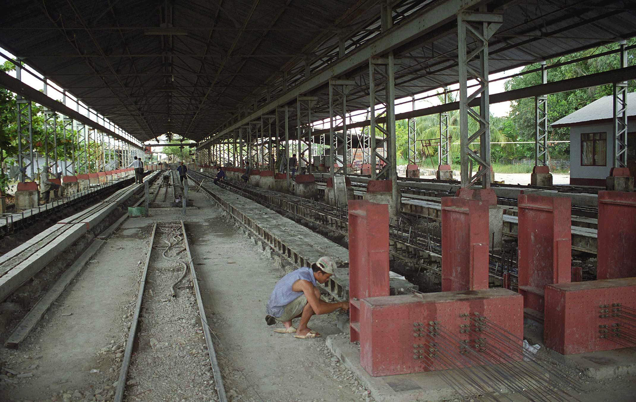
Before beginning our route survey we spend several days in Vientiane becoming acquainted with various supplier and subcontractors for poles, labor, transportation, crew camps and materials. One of the important materials we need for this contract is concrete telephone/utility poles. Luckily, this manufacturer was fully capable and available to supply us. This is the casting room for poles.
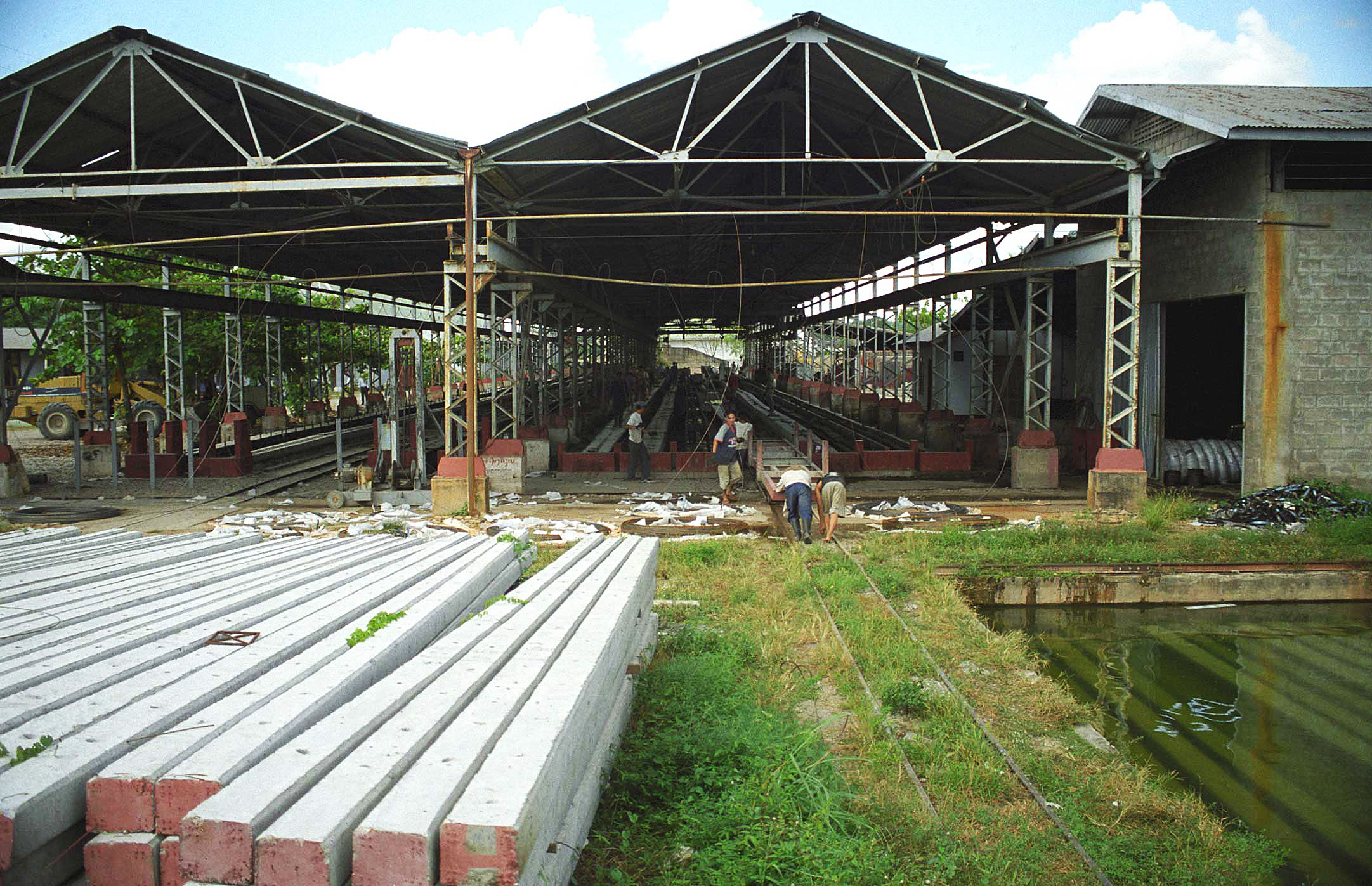
As soon as the concrete poles set (about 24 hours) they are wheeled out on a special cart on rails.
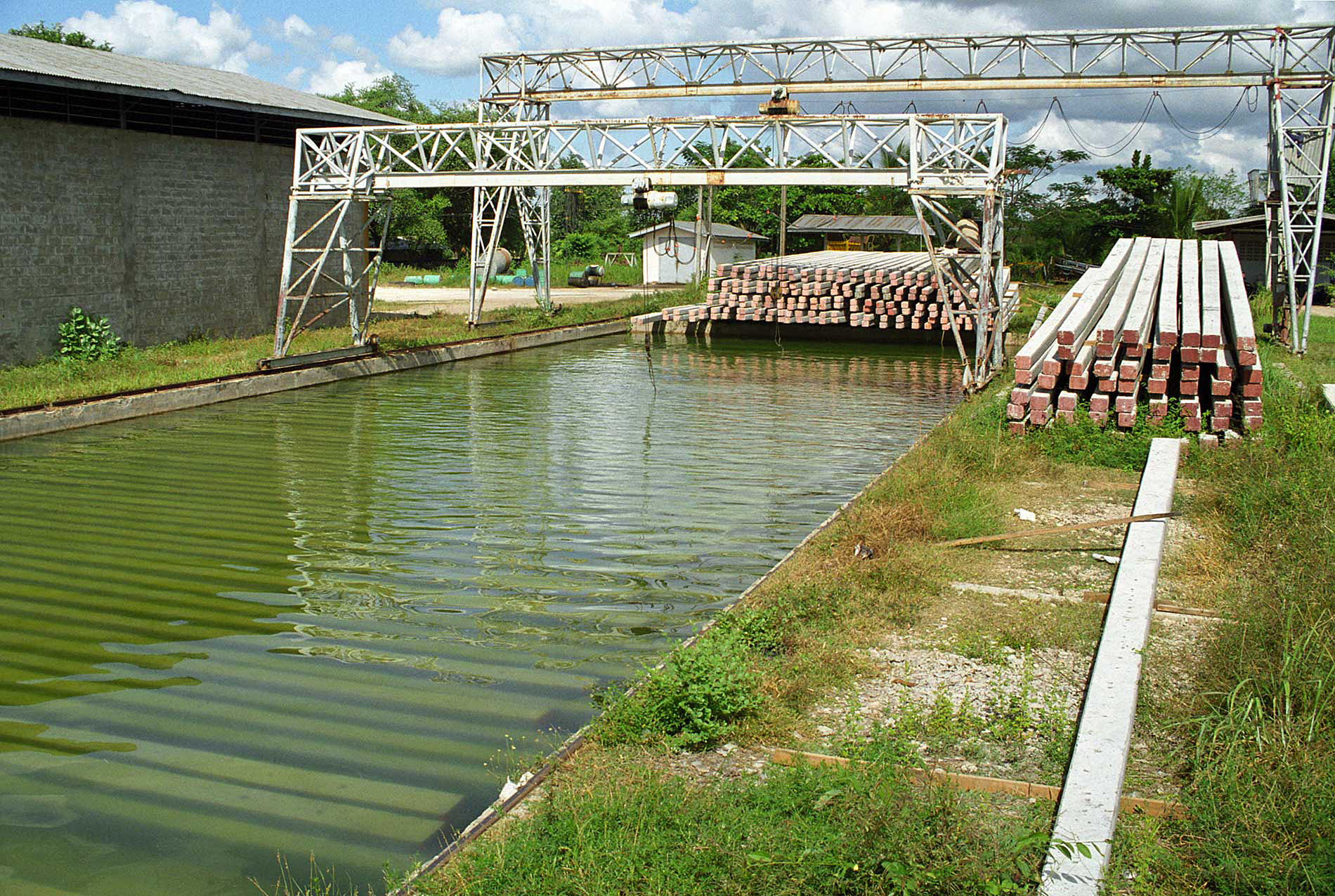
The poles are placed underwater for 4 weeks to fully cure. Then they are ready to be used.
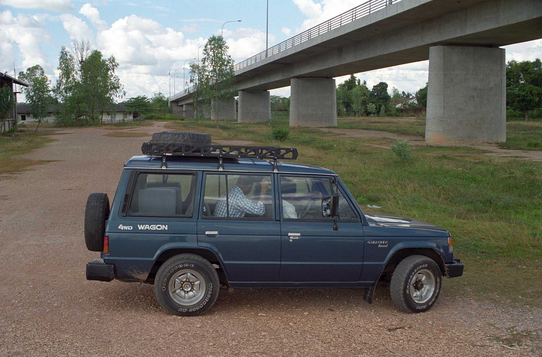
This is our rental vehicle for the survey. We are checking out the Friendship Bridge (which crosses the Mekong to Thailand) where one branch of the new fiber system will be connected.
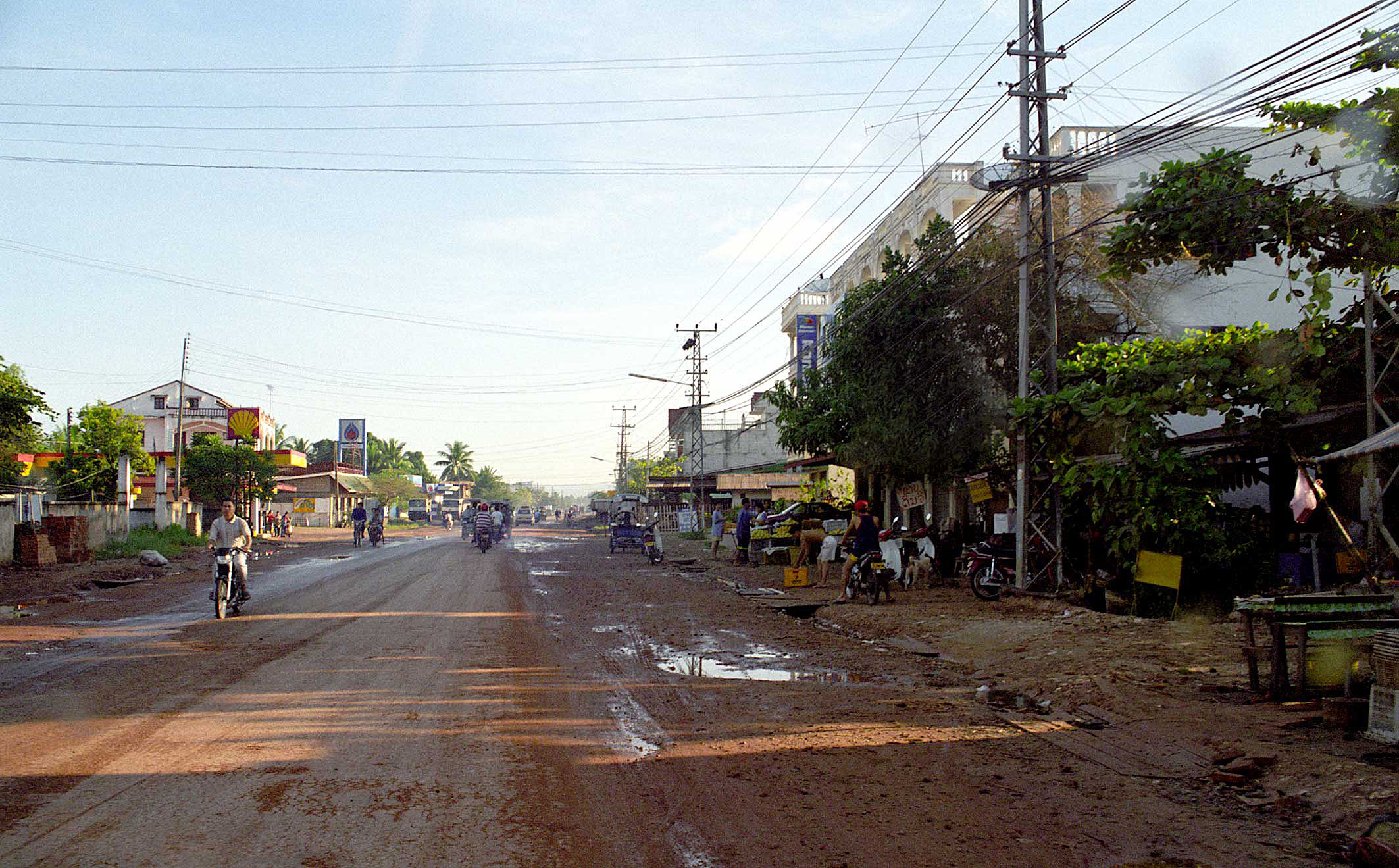
Bright and early the next morning we head out through the eastern suburbs of the city.
Here at the Vietnamese market grounds we leave Vientiane and head east and south on Route 13.
Once out of the city the road is deserted. The national road system was built by the Chinese with World Bank funding. The bridges for this system are nearly all Russian built. All in an effort to pump up the failing economy and government after the 1975 Pathet Lao revolution. Because the economy is so depressed, no one can afford to purchase and operate cars and trucks.
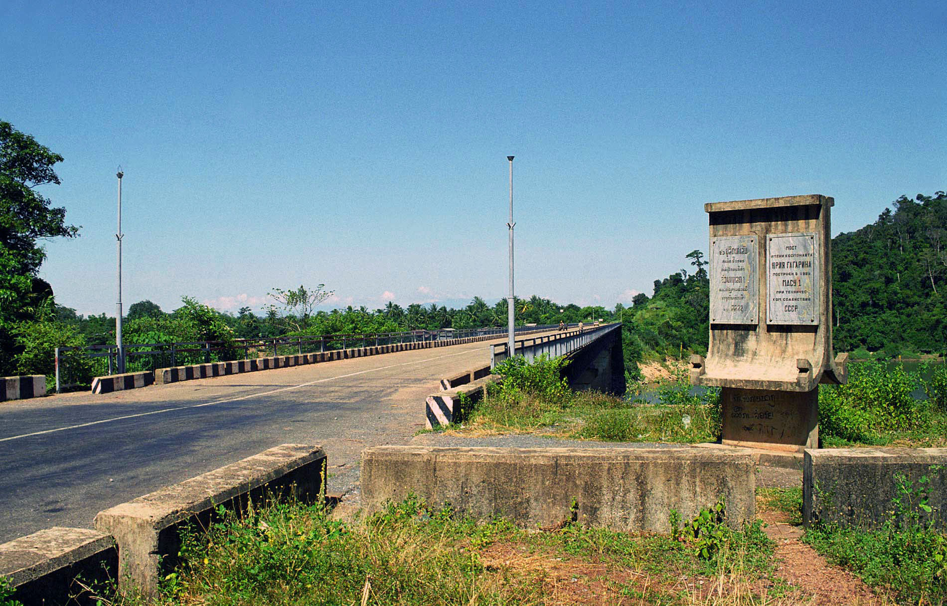
Nam Ngerm bridge about 20 miles east of Vientiane.
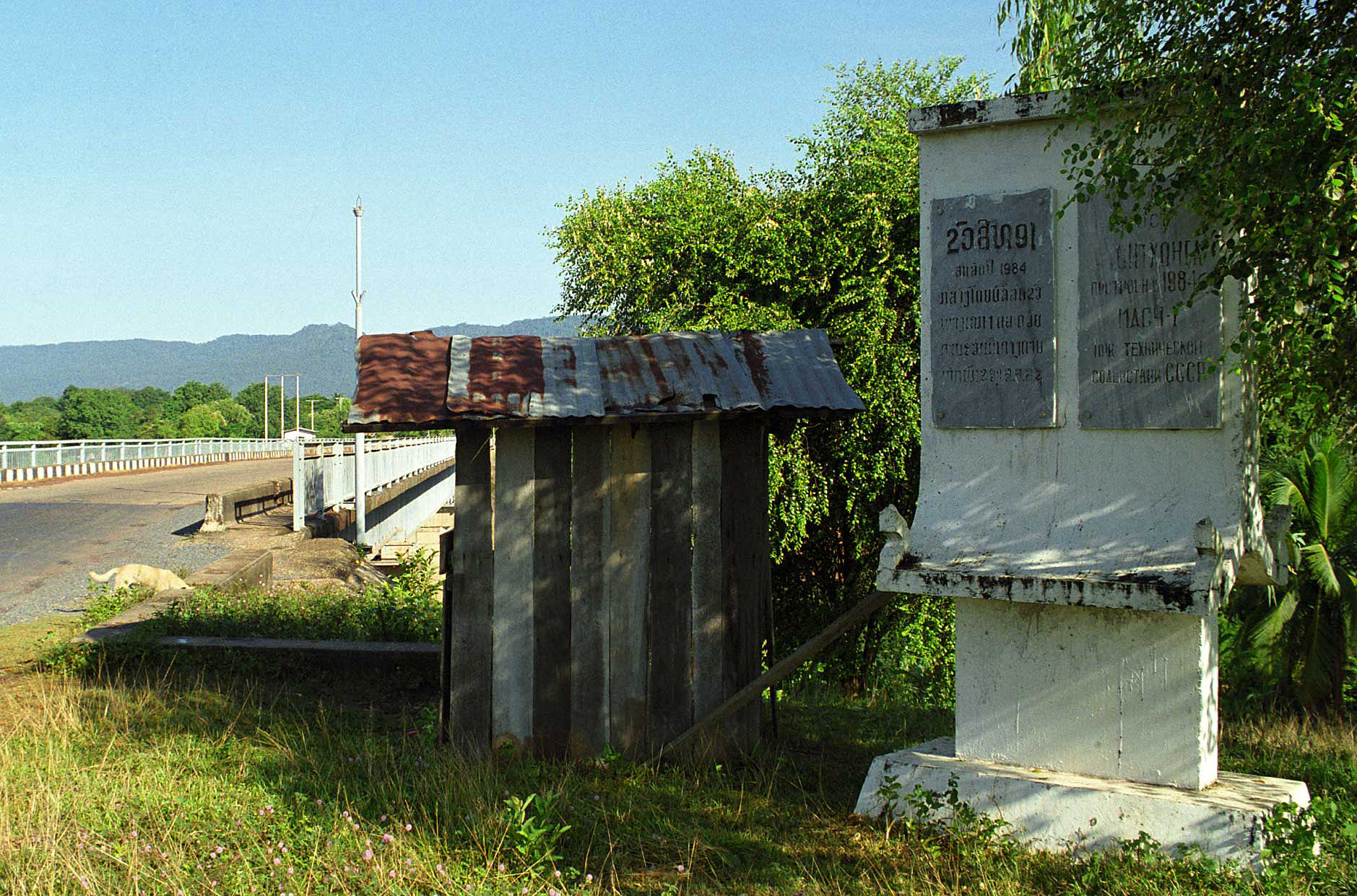
Typical signage in Russian and Lao for the Nam Ngerm bridge.
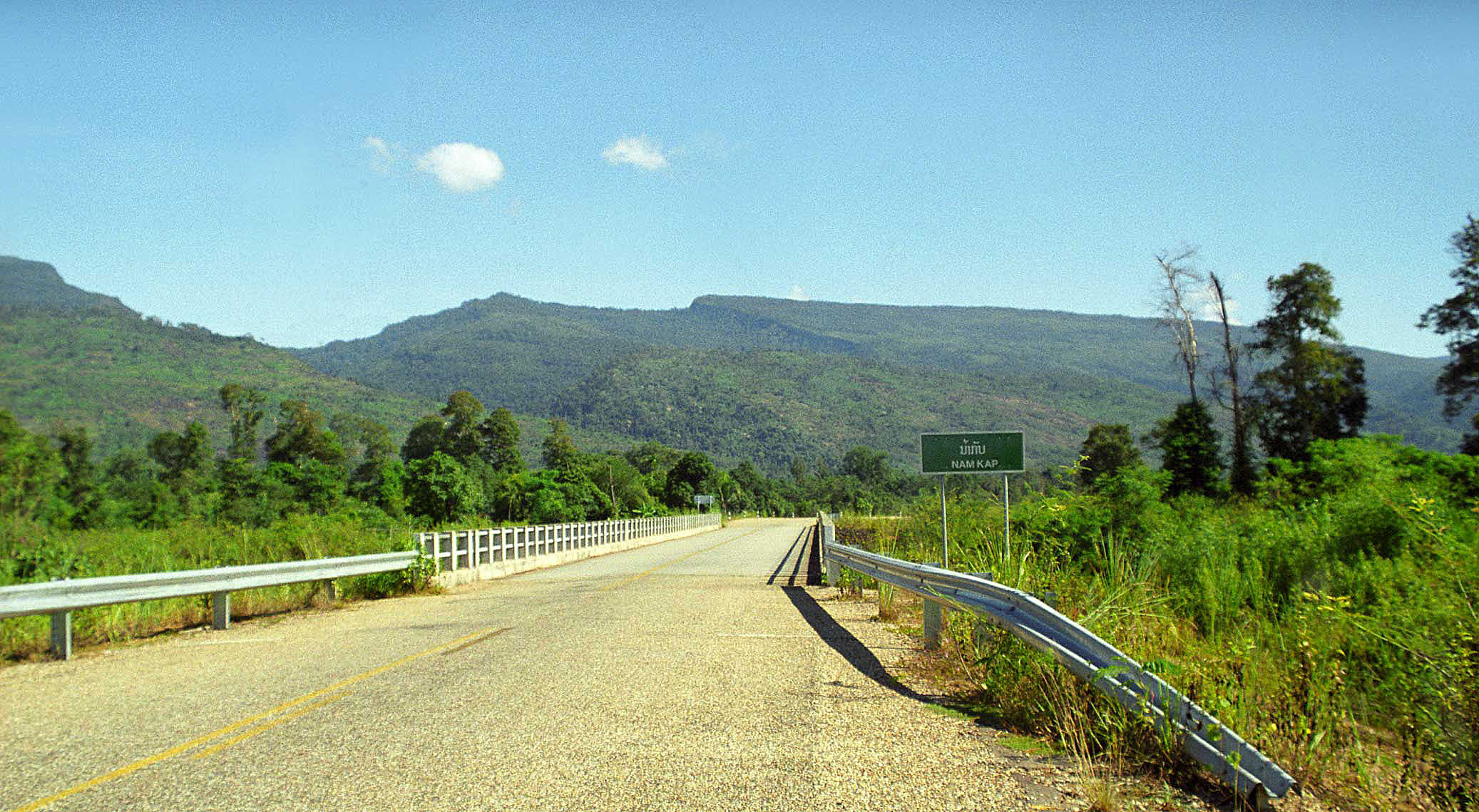
A typical small river bridge, this time over the Nam Kap, about 40 miles southeast of Vientiane. Our route will pass over 23 rivers.
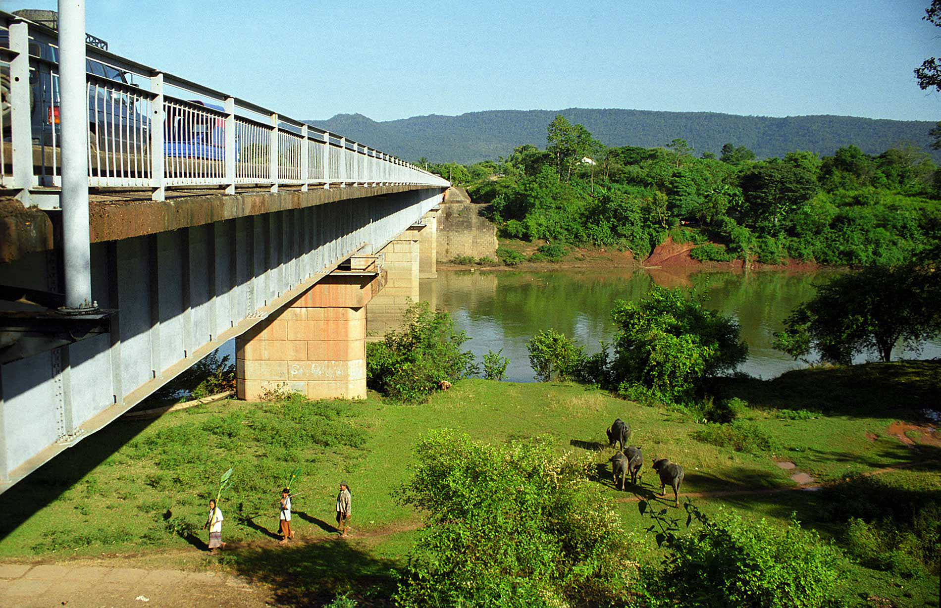
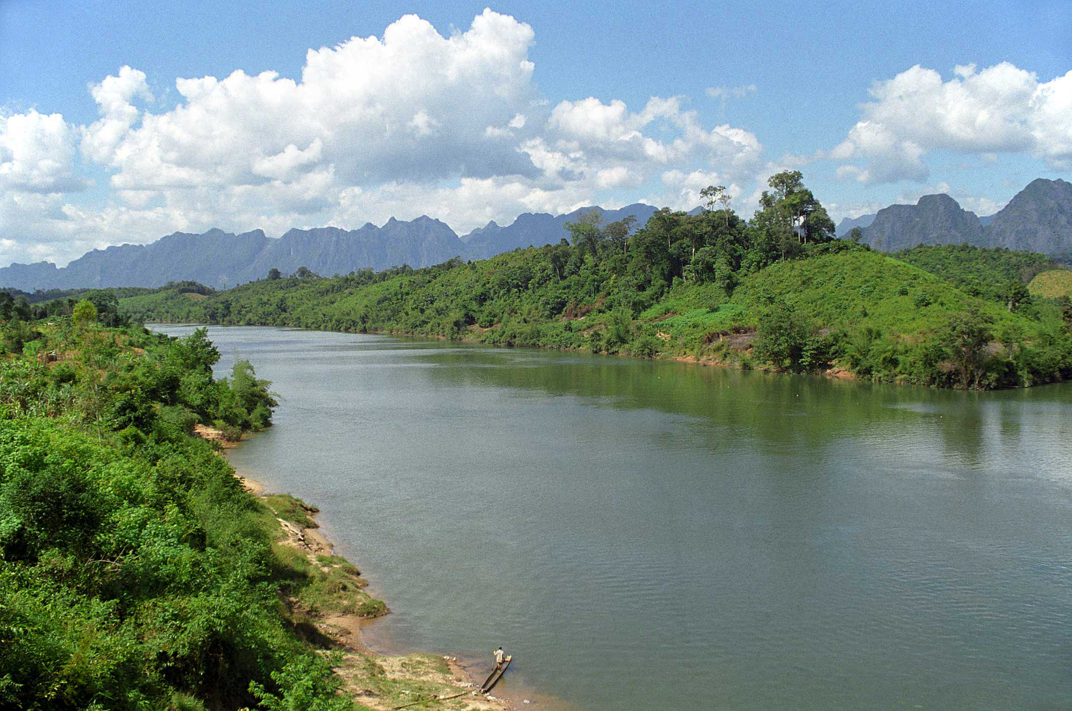
The Nam Xam bridge spans 300 meters across the river, just before it intersects the Mekong.
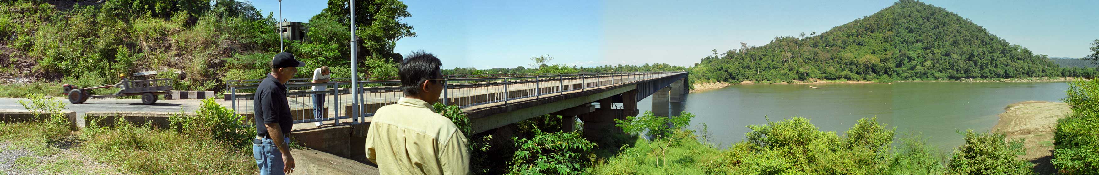
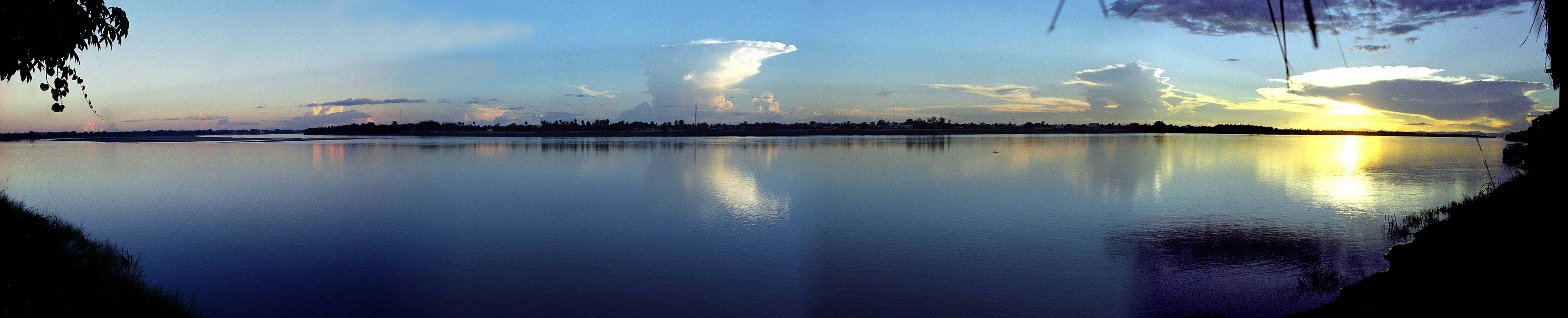
Pan of the Nam Xam River.
The Nam Xam joins the Mekong about a quarter mile downstream from the bridge.
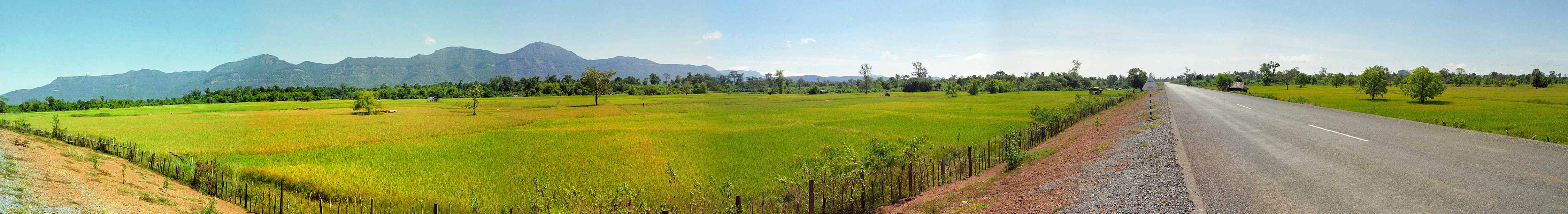
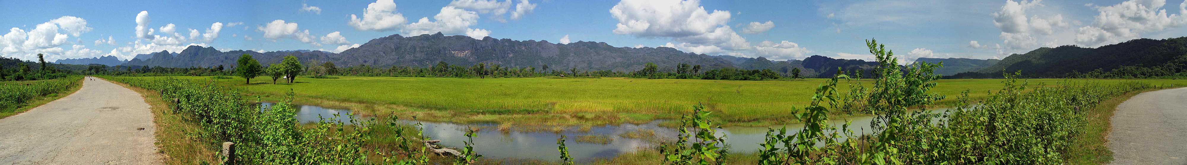
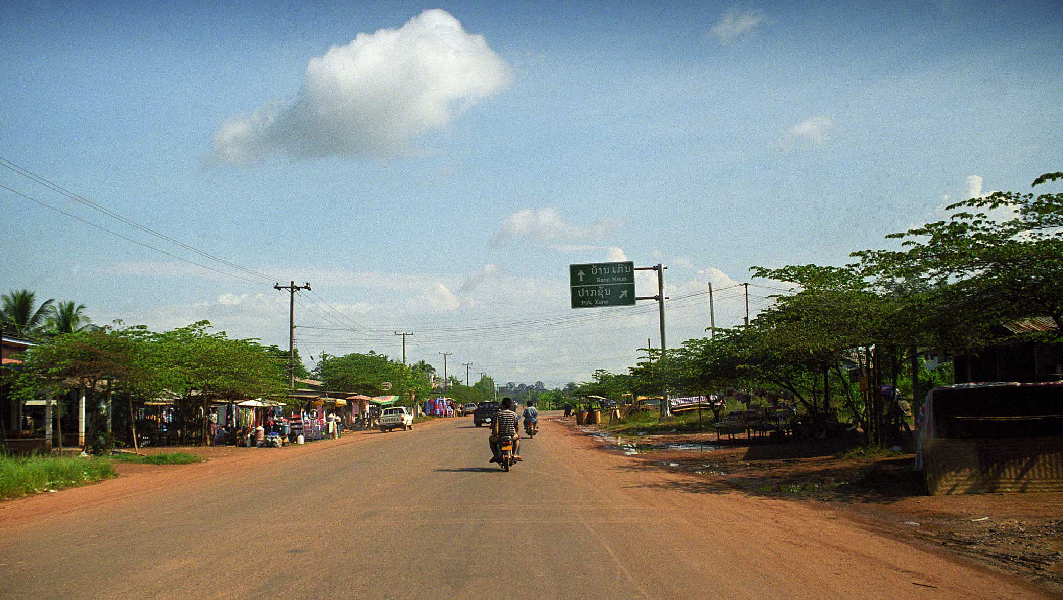
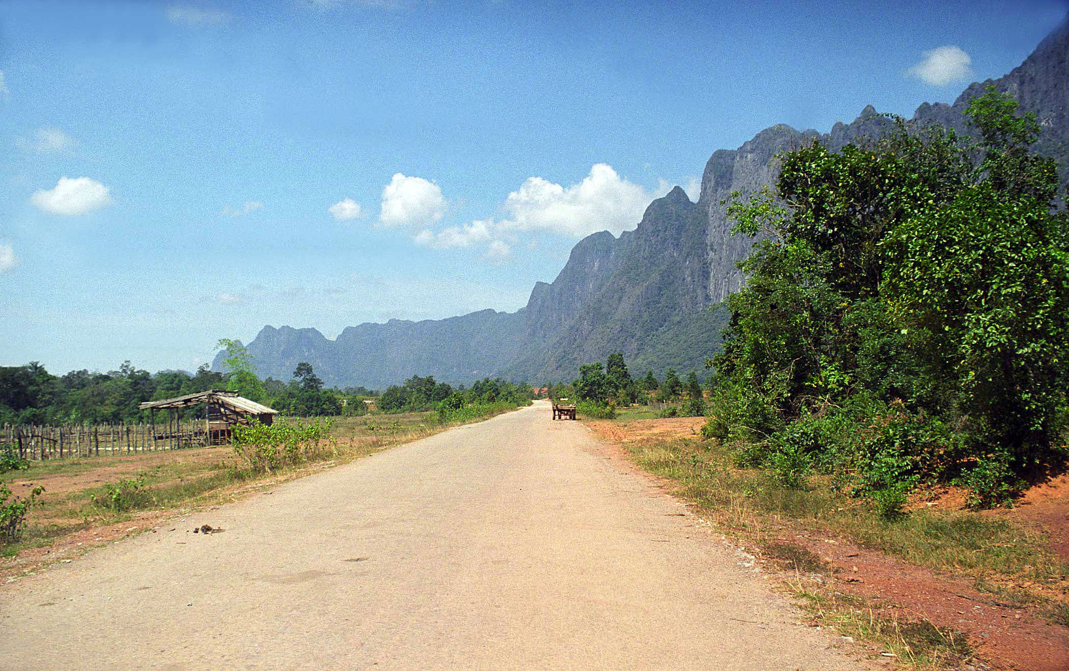
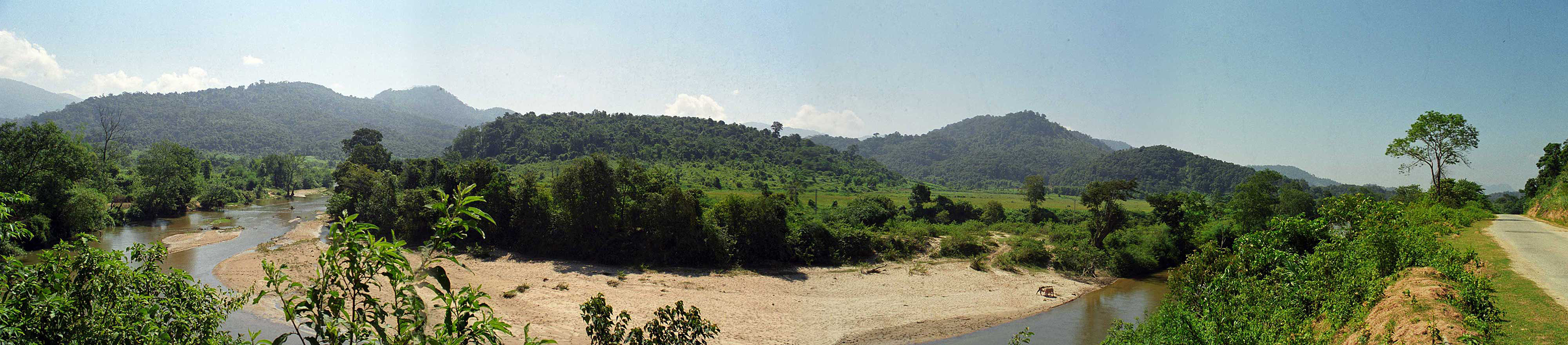
A panorama east and south. This road would be perfect for cyclists. Somewhere about 20 miles south of Paksan Village. No traffic at all.
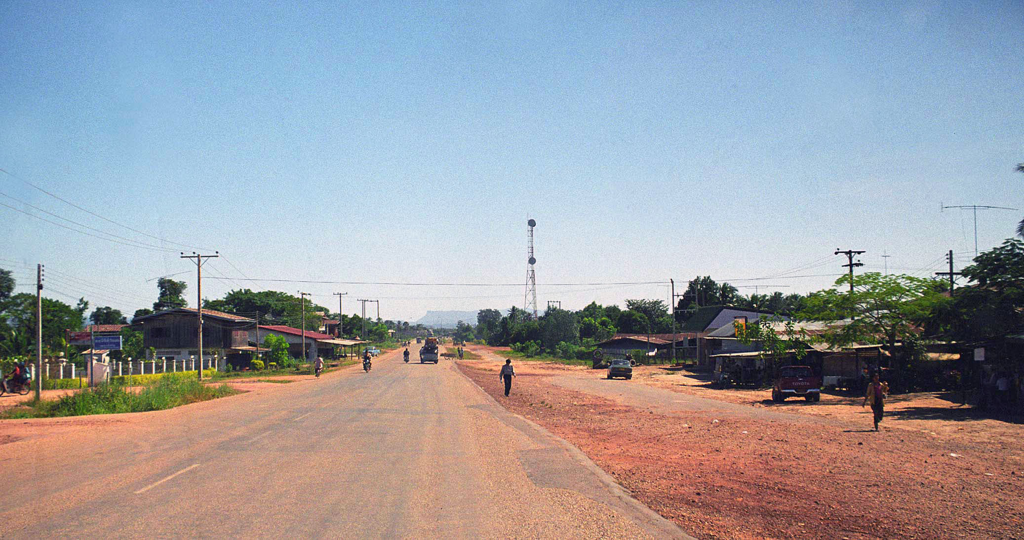
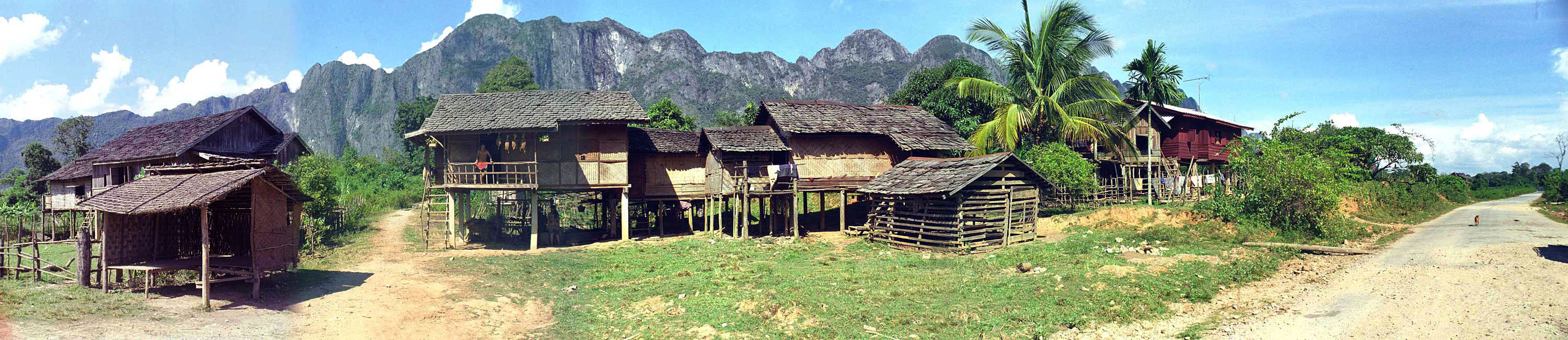
We turn east on Route 8 at a small village called Vieng Kham. This is Huoay Mong, the first village we reach on Route 8 about 4 miles east of Route 13. We will continue east on Route 8 for the rest of our journey to the Vietnamese border.
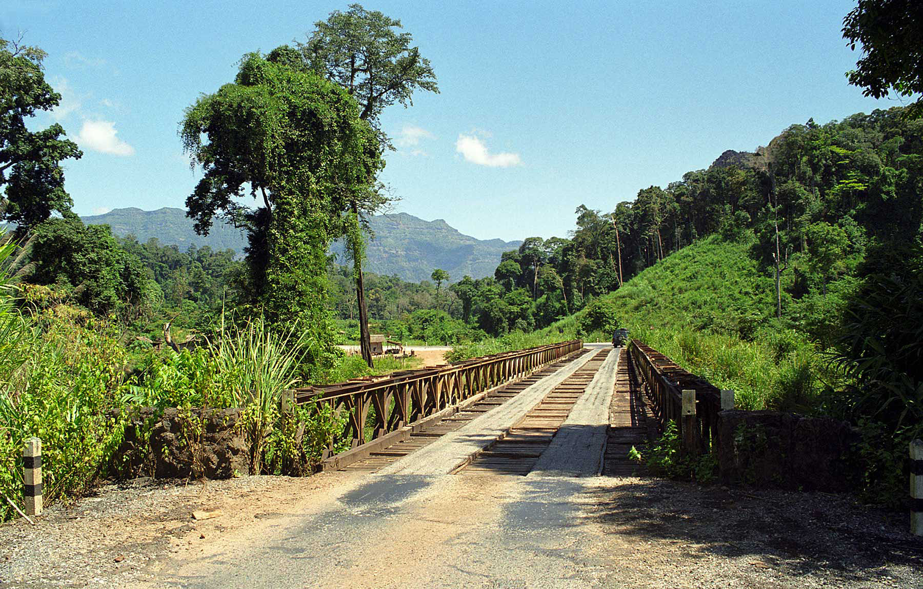
The road begins to deteriorate as we head east. Here is the first temporary bridge we have seen. About 20 miles east of Route 13.
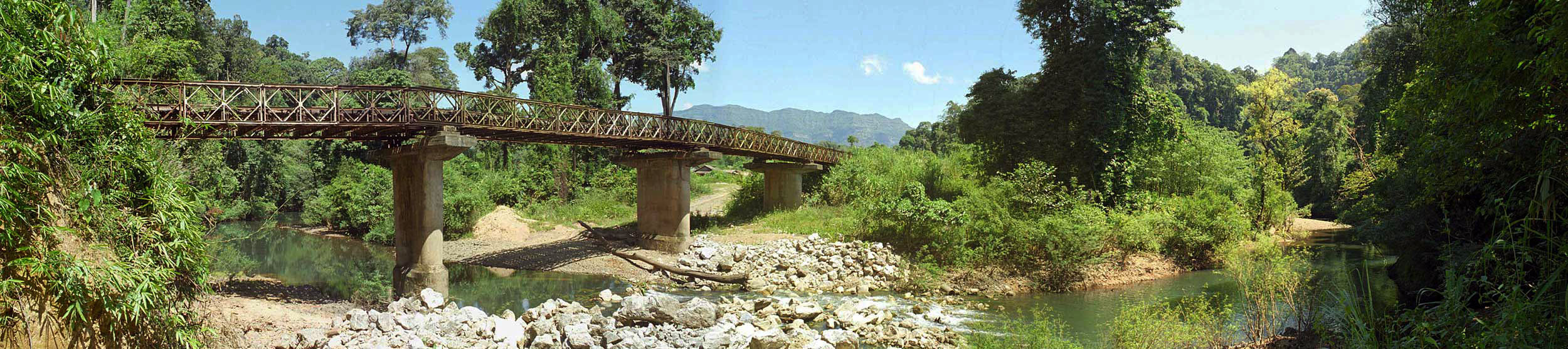
This Bailey bridge spans a beautiful jungle river.
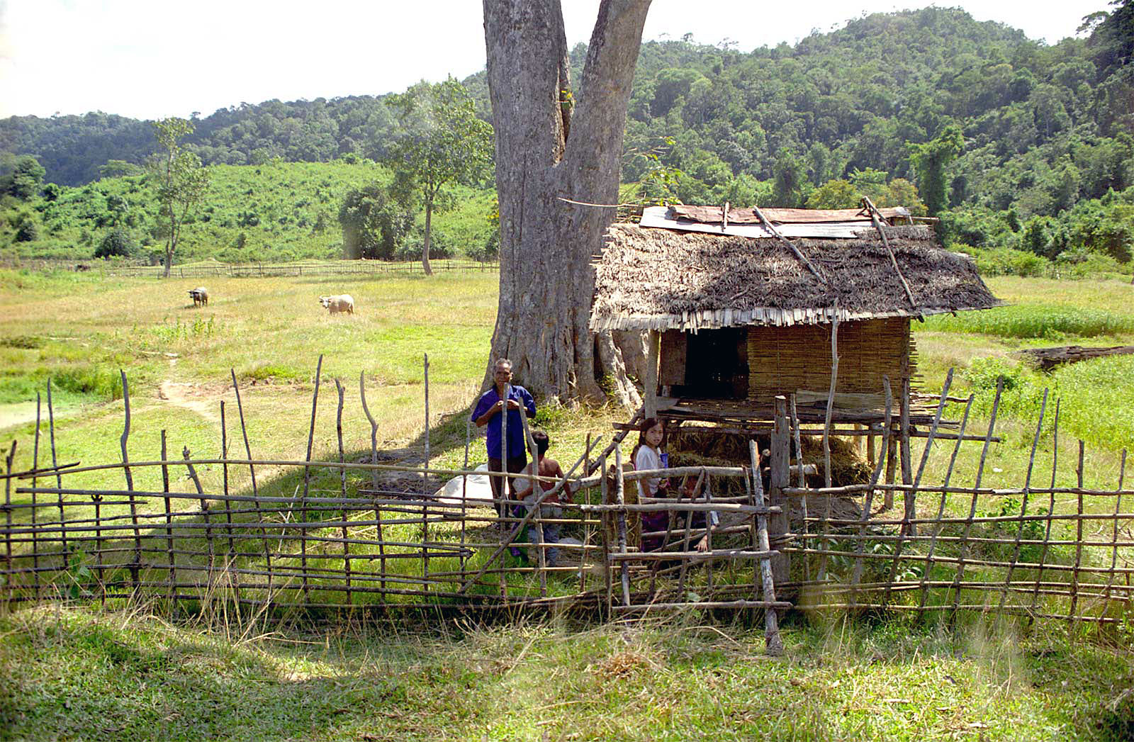
Local farmer and herd.
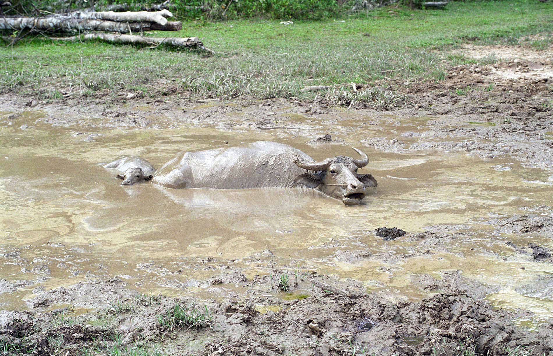
Cooling off.
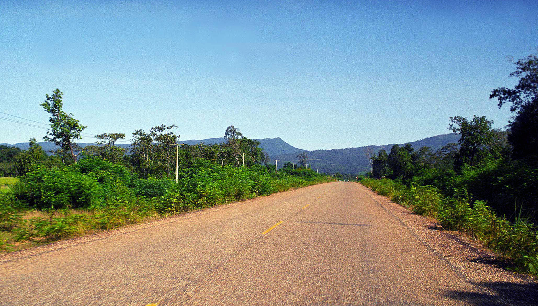
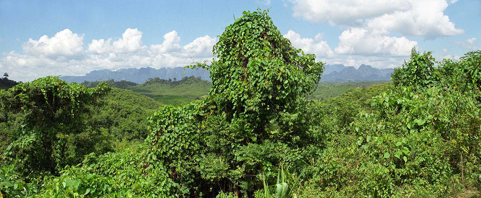
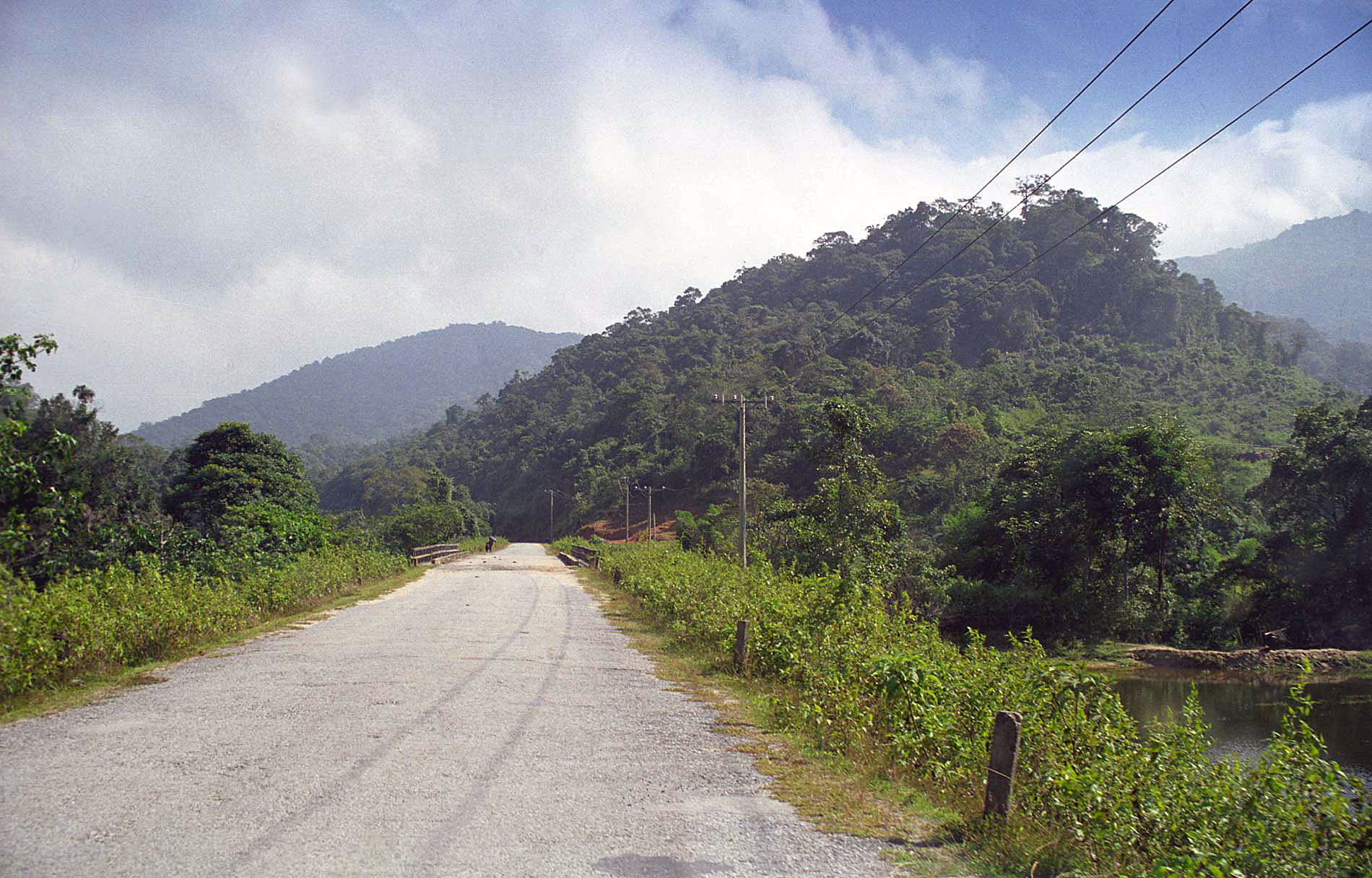
Here, about midway between Route 13 and Nam Thuen the country gets seriously beautiful.
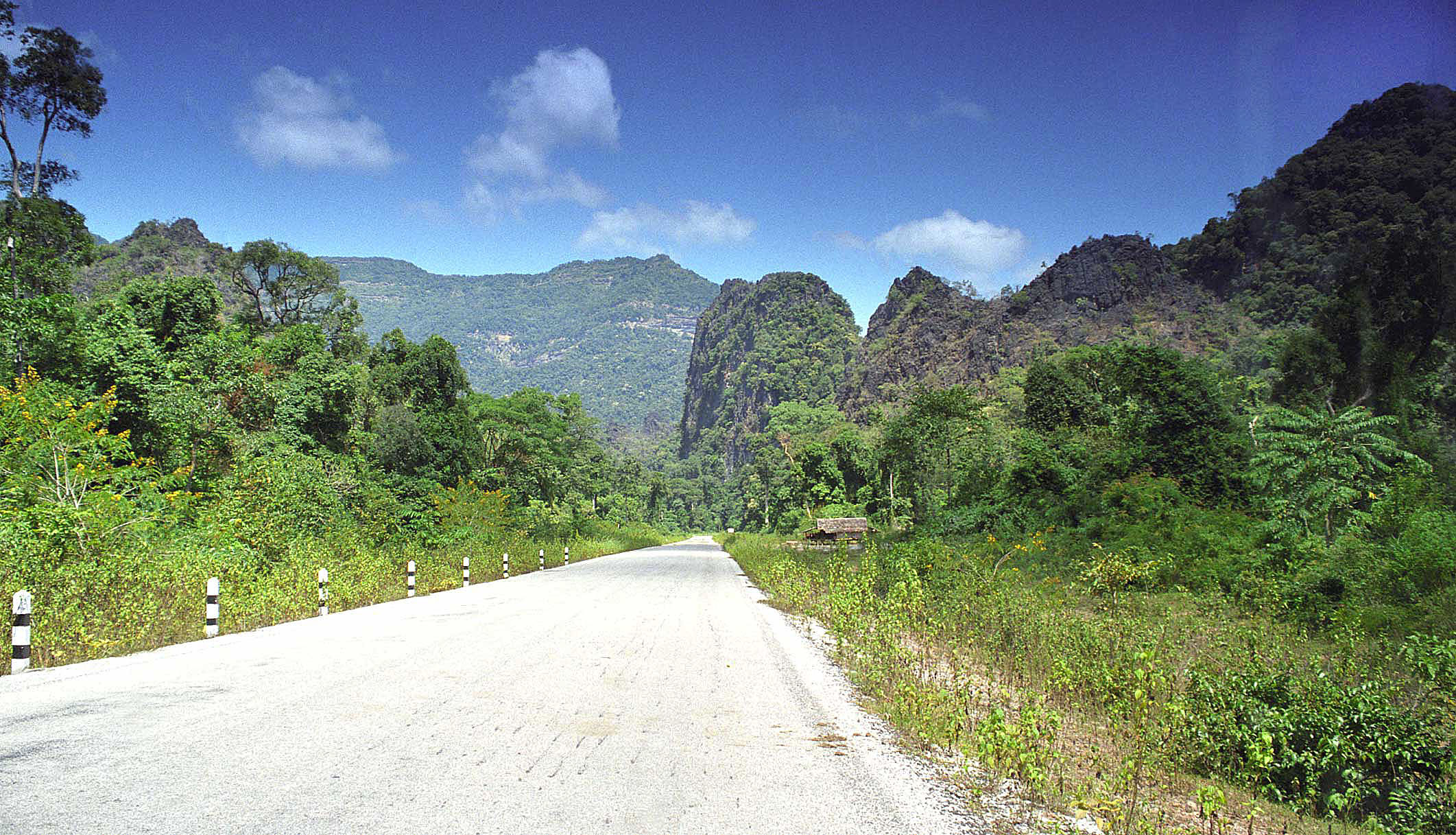
Heavy mountains loom as we near Nam Thuen City and dam.
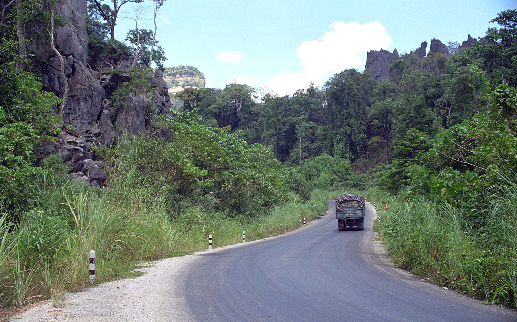
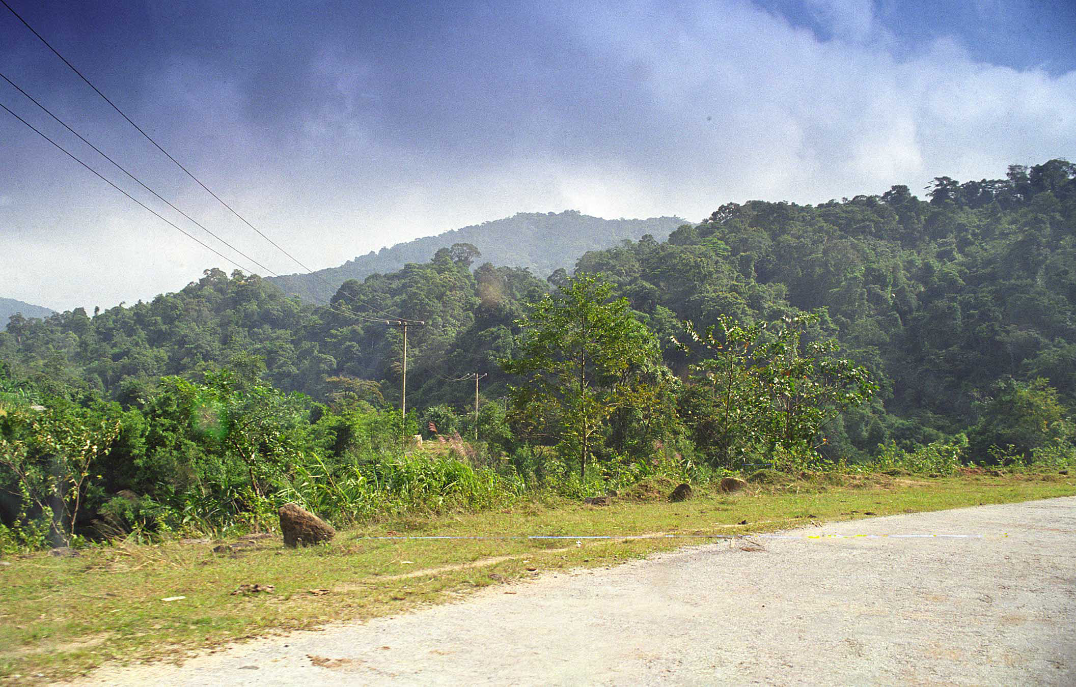
Heavy climbing and turning as we pass through the mountains.
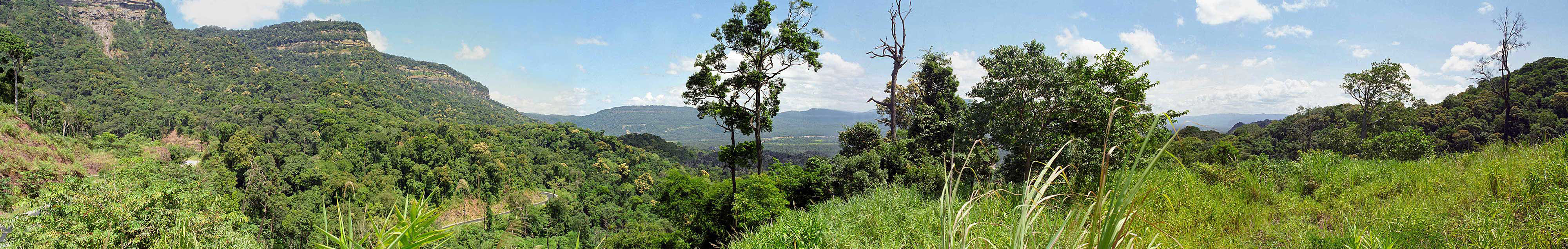
View from the top of the pass, just before reaching the Nam Thuen River.
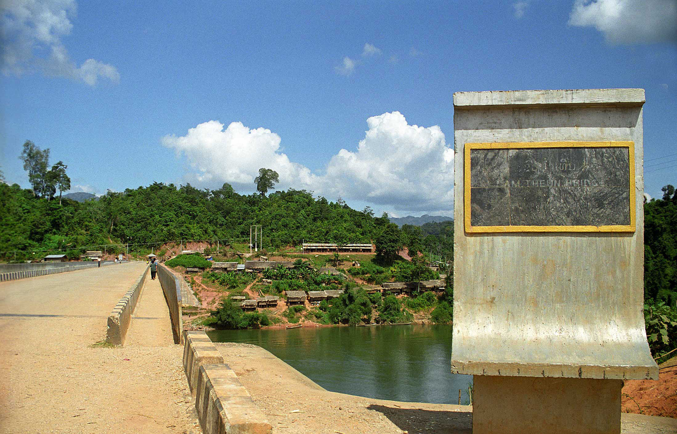
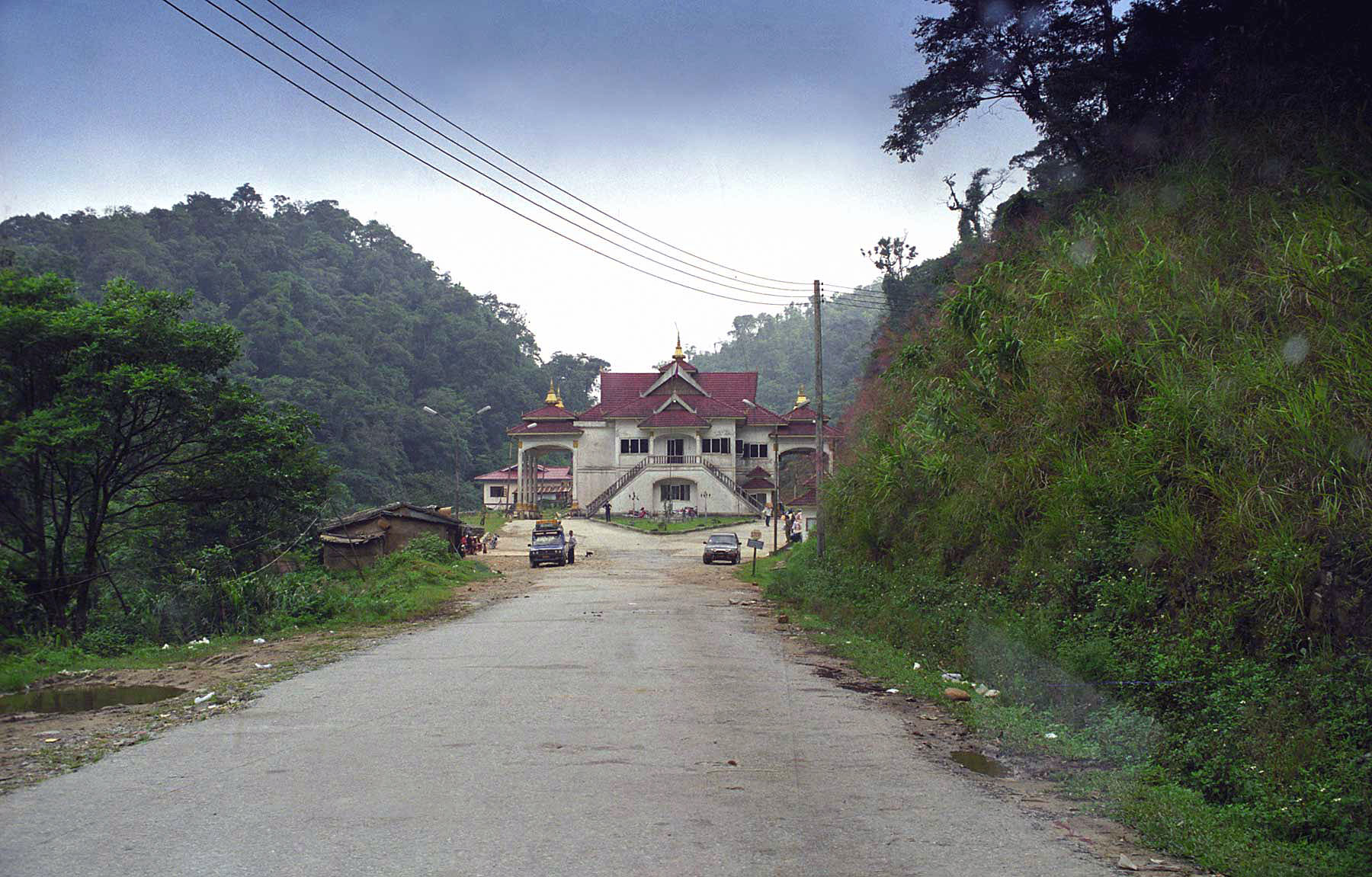
Nam Thuen Bridge and village. The dam is just a few miles east.
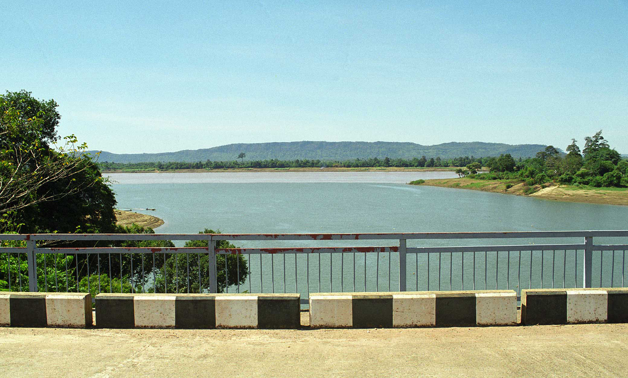
View downstream from the Nam Thuen Bridge.
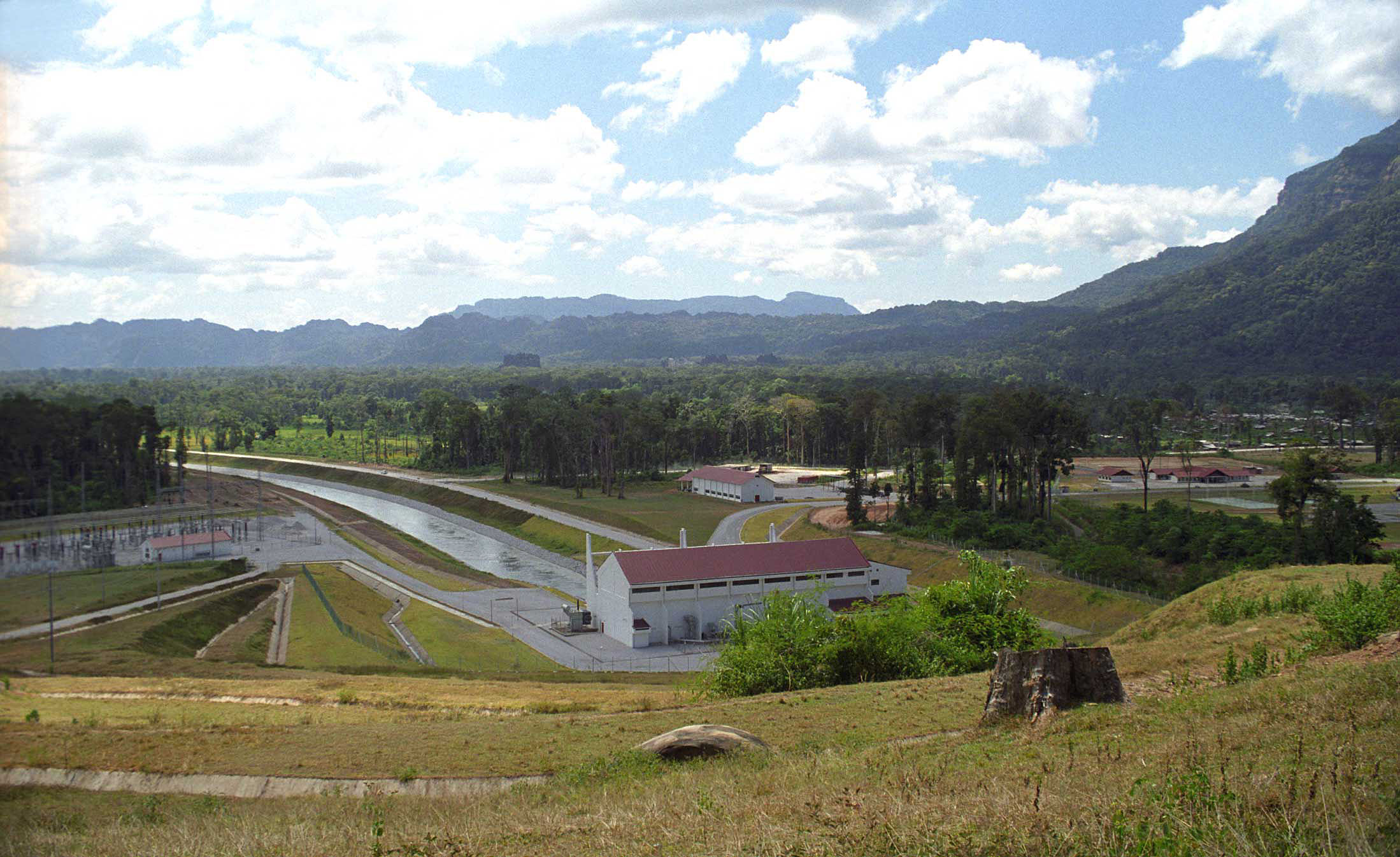
Built and operated by the French, this Nam Thuen Dam is one of the largest and most productive aid projects in Laos. Managed by a handful of french families, the dam produces power for nearly half of the country.
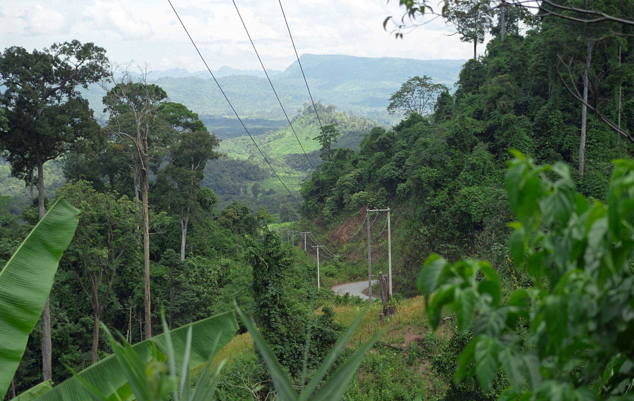
Power lines and road down the mountain to the east of Nam Thuen Dam.
From the hills east of Nam Thuen Dam.
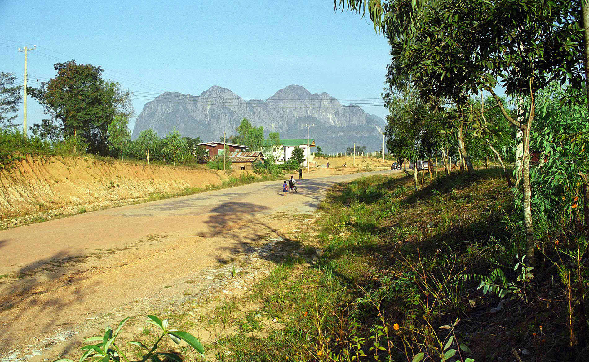
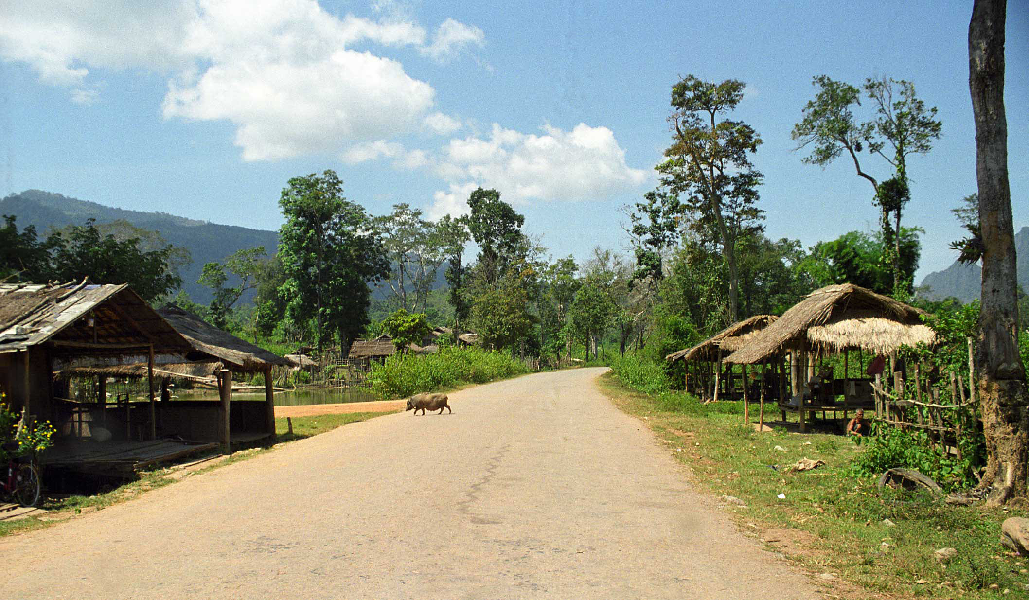
Village about 15 miles west of Lak Sao. No power or water.
Looking back west as we near Lak Sao.
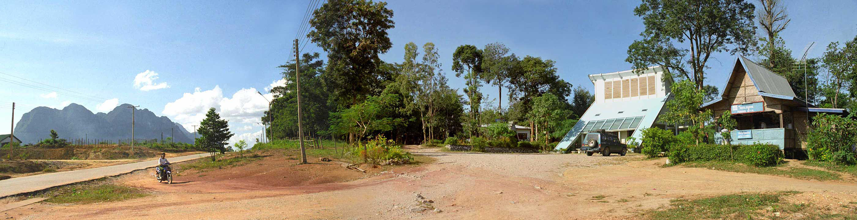
At last we reach Lak Sao, about 150 miles from Vientiane, and still 45 miles to the Vietnam border. This is our hotel stop.
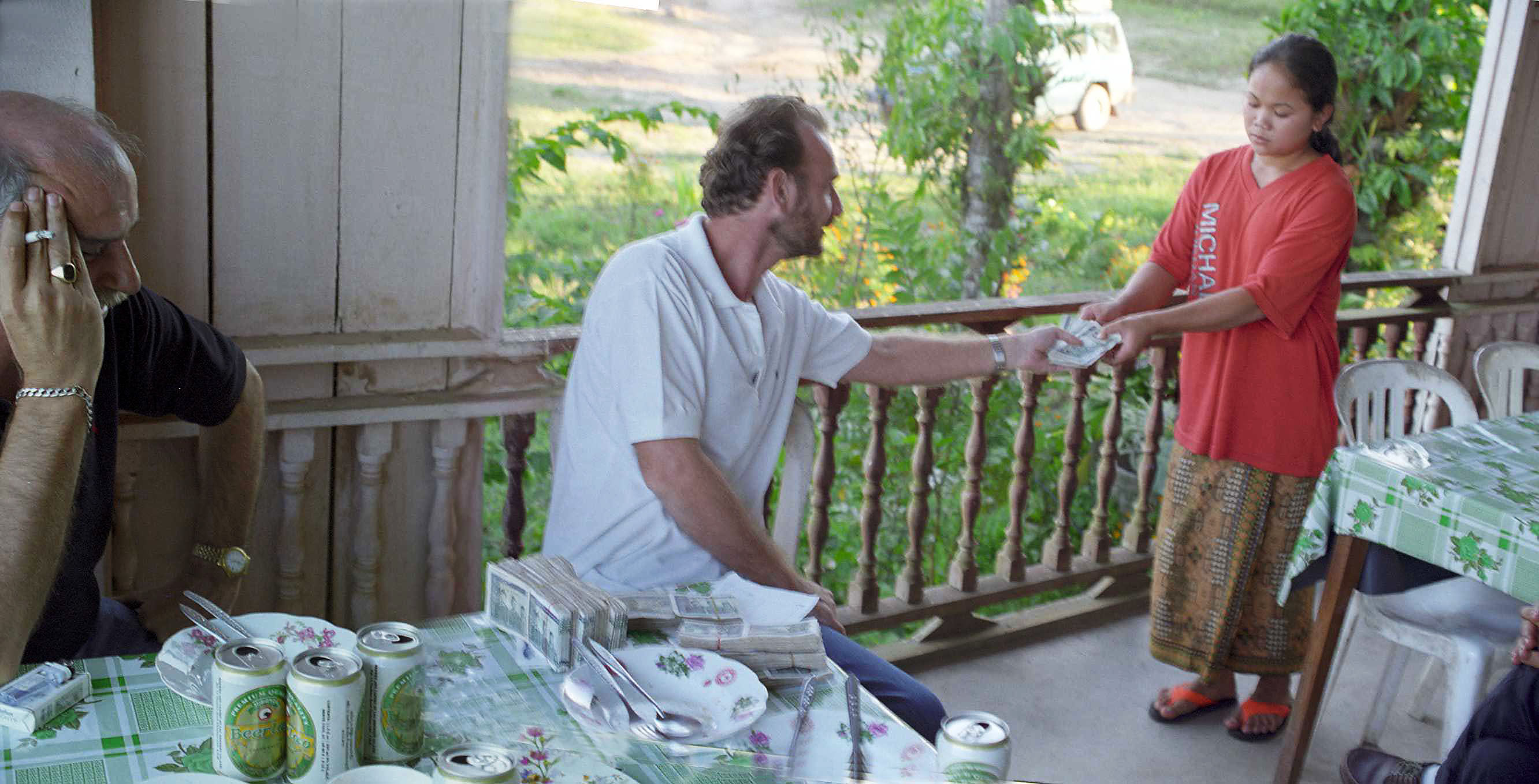
After about 10 hours of driving and looking at bridges and poles, we are thirsty. Also changing dollars to Lao kip. It takes about a half of a shopping bag full of Lao kip for every hundered U.S. dollars.
Morning is beautiful. We are hungry and head out for breakfast enroute to Vietnam.
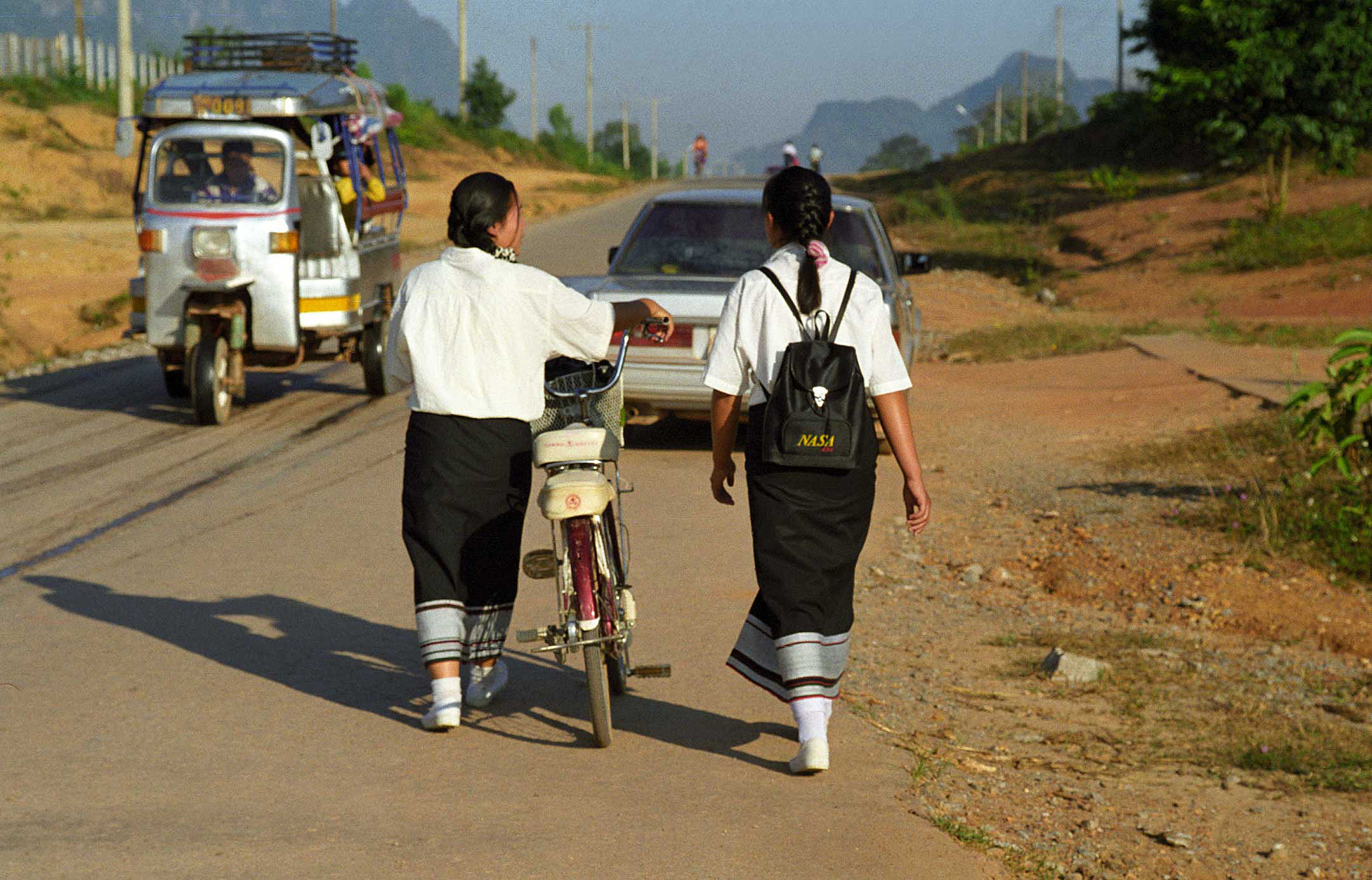
Great school uniforms.
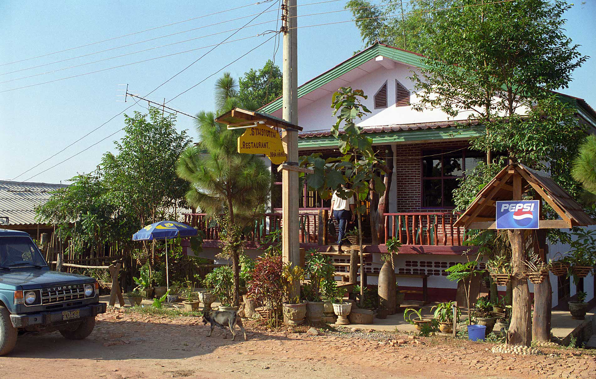
We find a breakfast stop. Check out the American bomb as part of the garden.
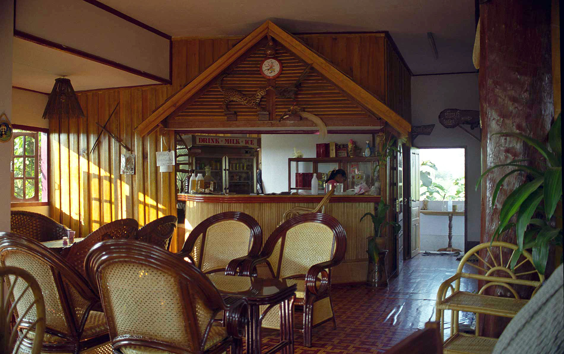
Great ham, eggs, baguettes and coffee. Civilized!
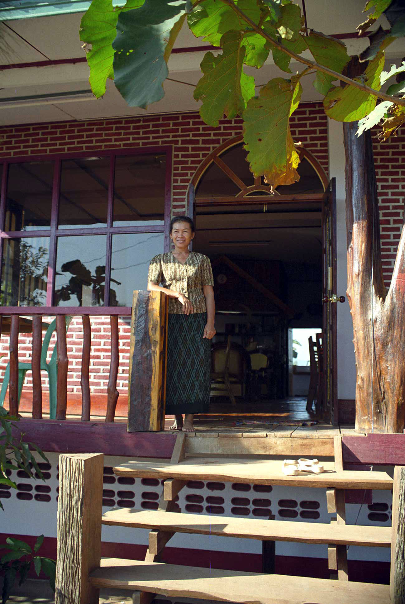
The owner, cook and hostess.
With full stomaches we head up another mountain range to the Vietnam Border. About 40 miles to the border.
Our guide points out a little known fact. The road has a buried 3" pipeline on the left shoulder, seen as a bare dirt line in this photo. This was used to pump aviation fuel from Lak Sao across the mountain to Vietnam during the "American war". The line was never discovered by the Americans and operated throughout the major portion of the war.
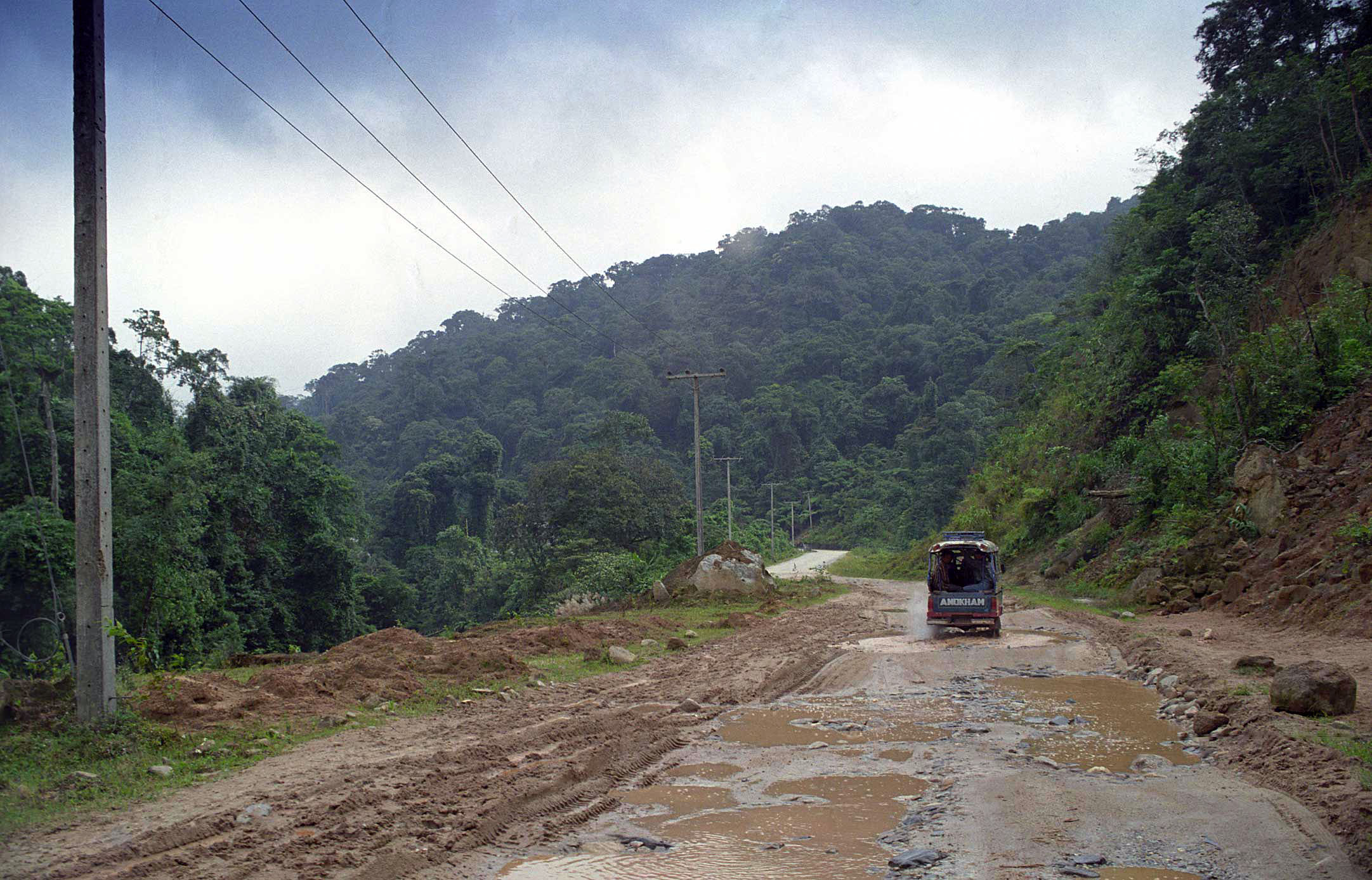
The road gets rough as we climb.
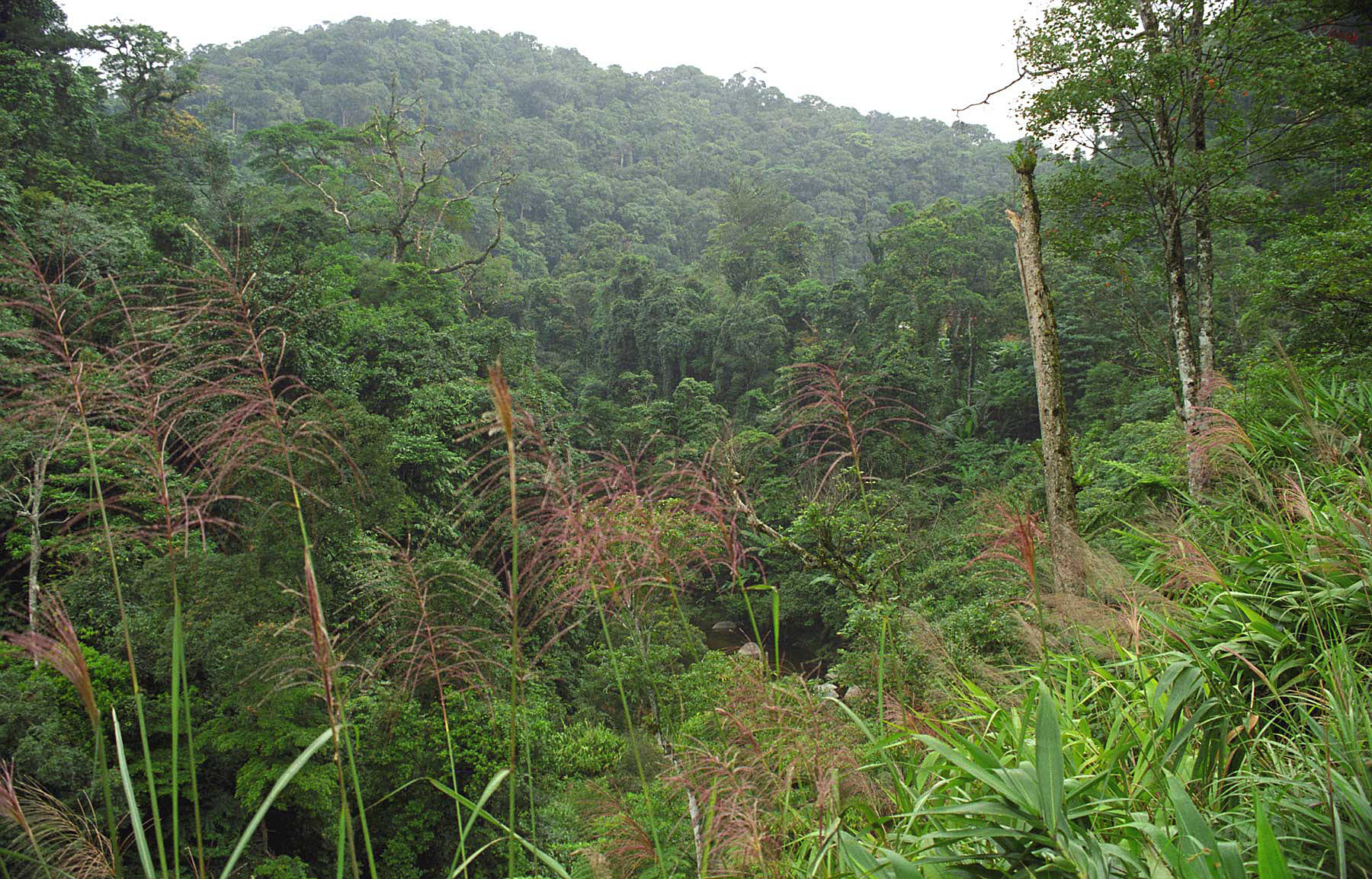
Jungle view high in the mountains.
At last, the Vietnam border. Wish we could keep going, but no visas for visiting Vietnam. Its only 40 miles more to Vinh on the South China Sea coast of Vietnam. So, after a short break we turn around and begin our return trip to Vientiane.
Some interesting sights on the way back. Here - the village pig.
A bend in a river...
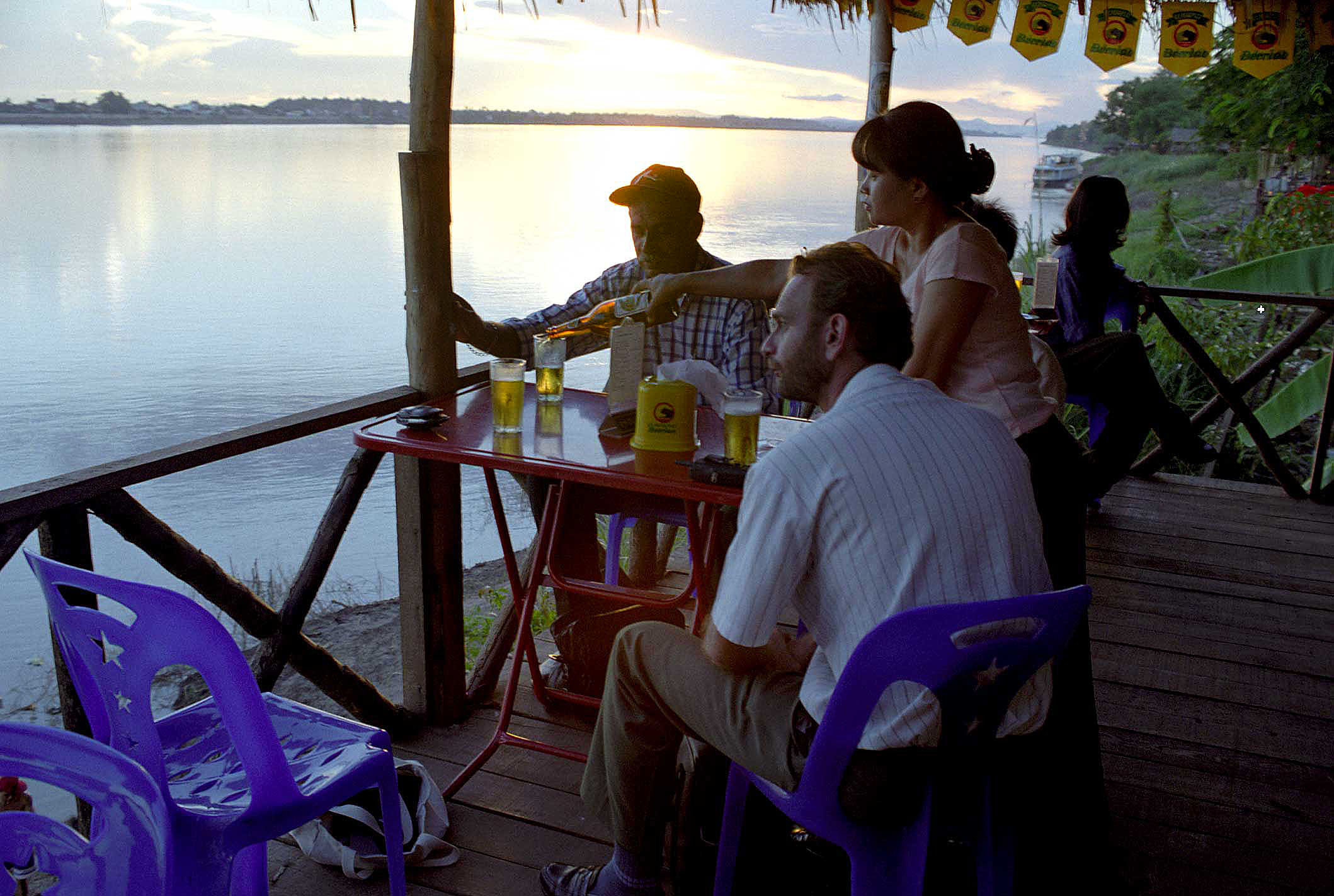
After 7 hours of hard driving from the Vietnam border we make it back just in time for sunset and a few beers.
And watch the sun go down. Tomorrow we fly back to the real world of Bangkok. It has been a great experience.